🪐 GeoJupyter & JupyterGIS 🌐
Exploring more approachable geospatial data workflows as an open community

Schmidt DSE, UC Berkeley
👋 Hi, I’m Matt! GitHub: @mfisher87
💻 Research Software Engineer (RSE)
🧑🤝🧑 Community Engagement Manager
🌱 Working at Schmidt DSE @ UC Berkeley
❄️ Previously at National Snow & Ice Data Center (NSIDC)
👐 Open source maintainer & contributor: jupytergis, earthaccess, conda-forge feedstocks, more!
👐 📖 🧠 🌱 🎶 🥁 🎹 🐶

Dog selfie
🧠 Jupyter is more than Notebooks
- Community!
- Tools for thinking!
- JupyterLab: Modular and extensible architecture for interactive computing
🧑🤝🧑 GeoJupyter is a community!

GeoJupyter is not software; it’s a community which will build many things together!

You got your desktop GIS experience in my coding environment!
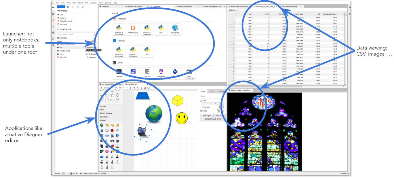
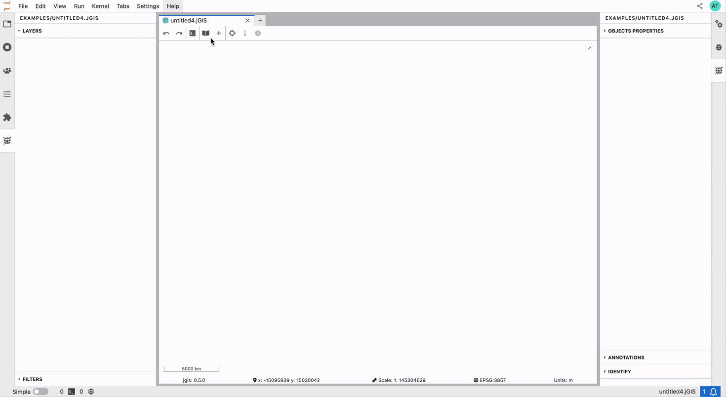
🌐 JupyterGIS
‼️ Early development ‼️
![]()
A screenshot of JupyterGIS
🔍 Explore data
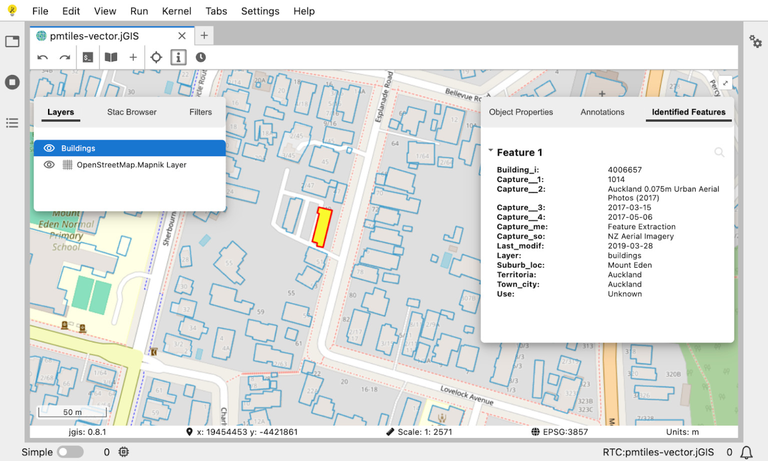
Inspecting attributes of a building footprint (eo science for society blog)
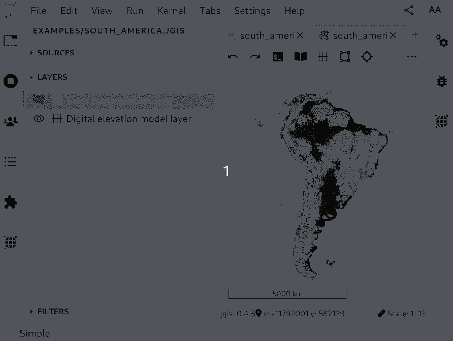
🧮 Process data
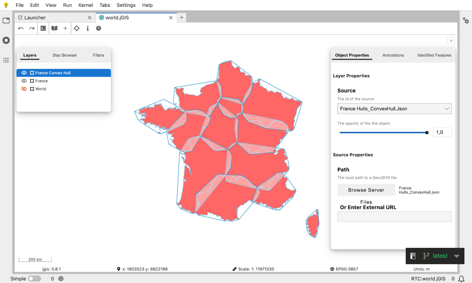
Calculating convex hulls of regions of France (eo science for society blog)
🛒 Browse curated layers
The JupyterGIS layer browser
🔮 Discover data with STAC (WIP)

Browsing a STAC catalog in JupyterGIS (eo science for society blog)
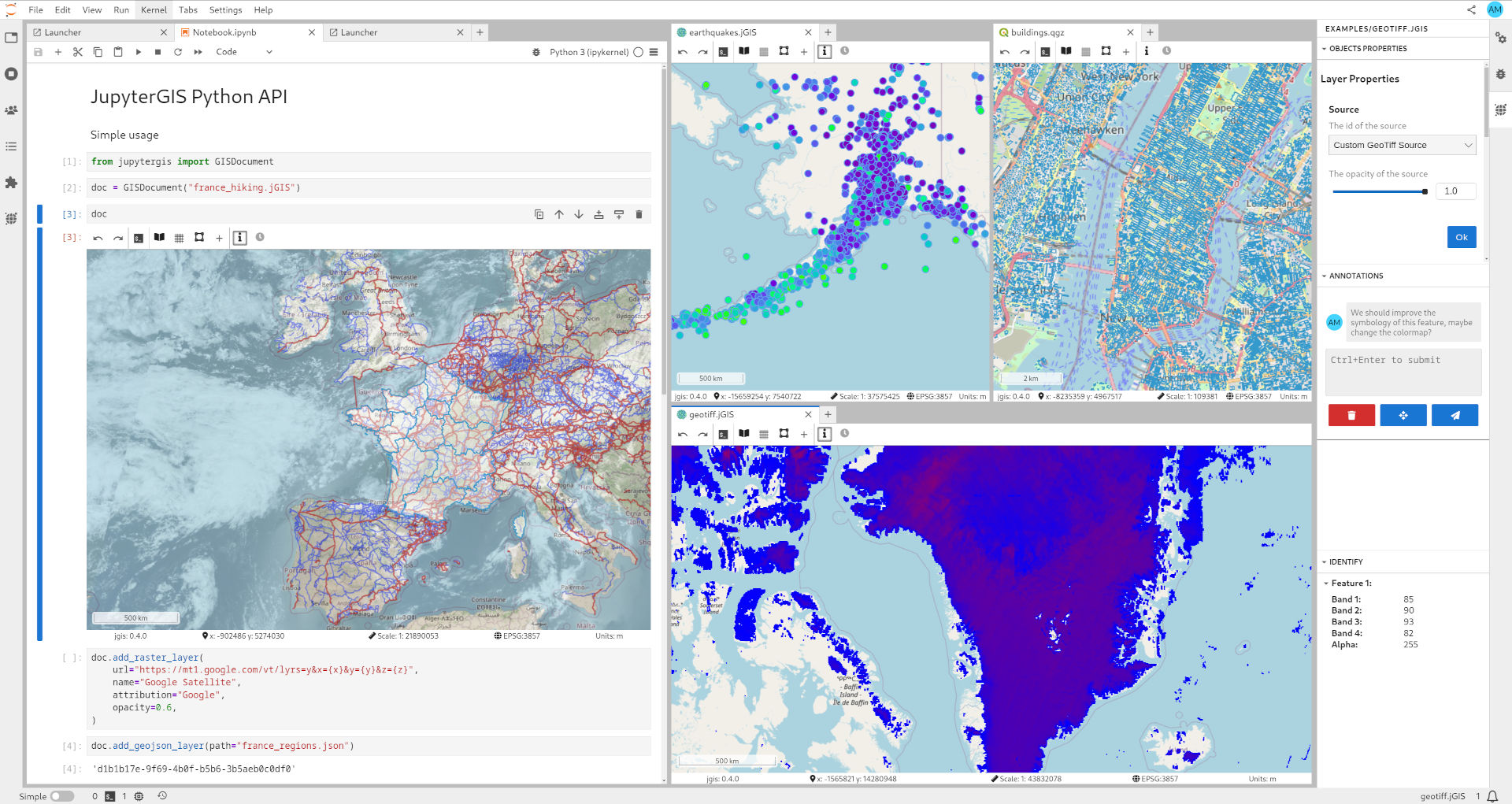
🔢 Support for Xarray datasets
Visualizing an Xarray dataset, tiled on-the-fly (TiTiler, David Brochart)
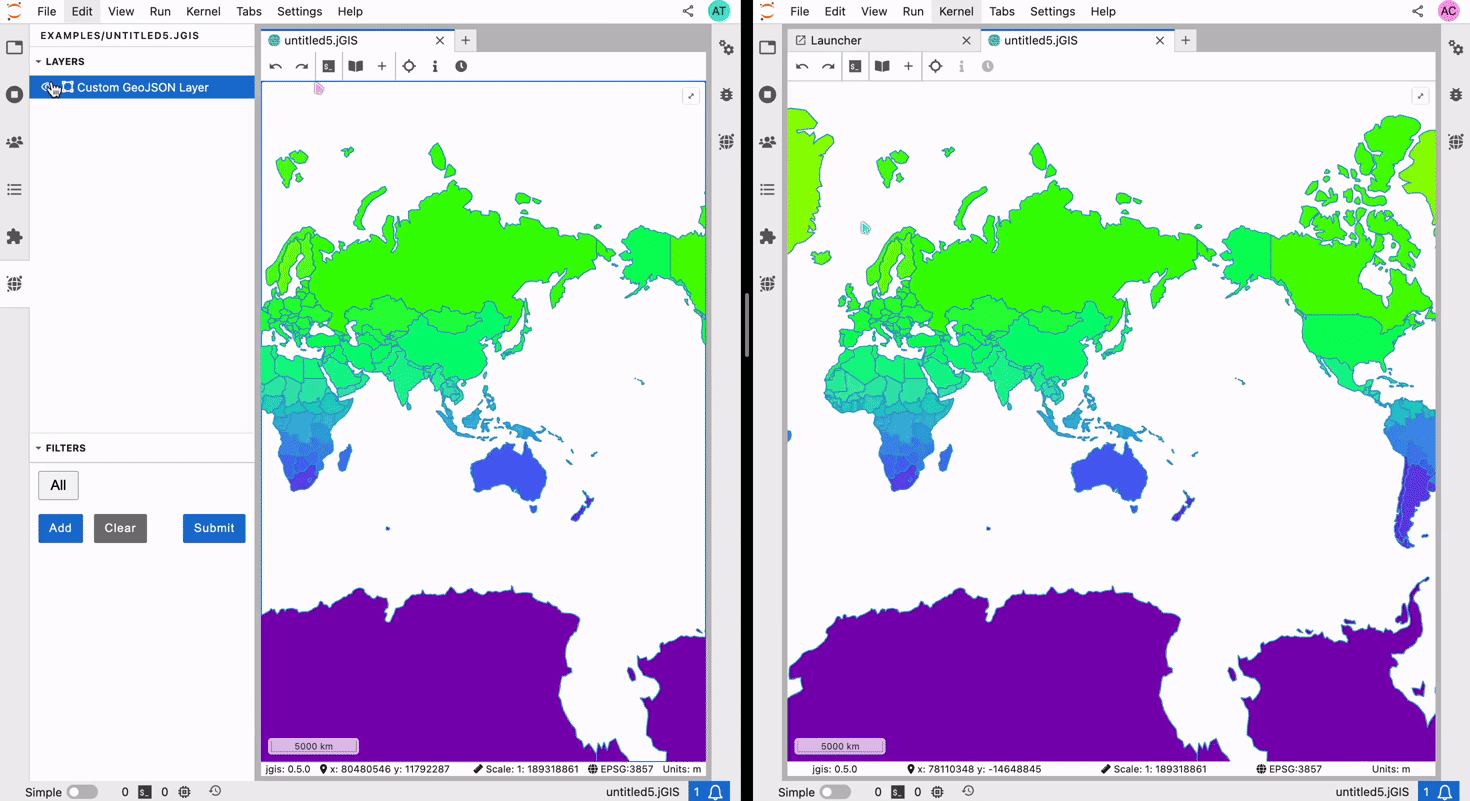
🤝 Collaborate
Two users collaborating in real-time on a JupyterGIS project (QuantStack)
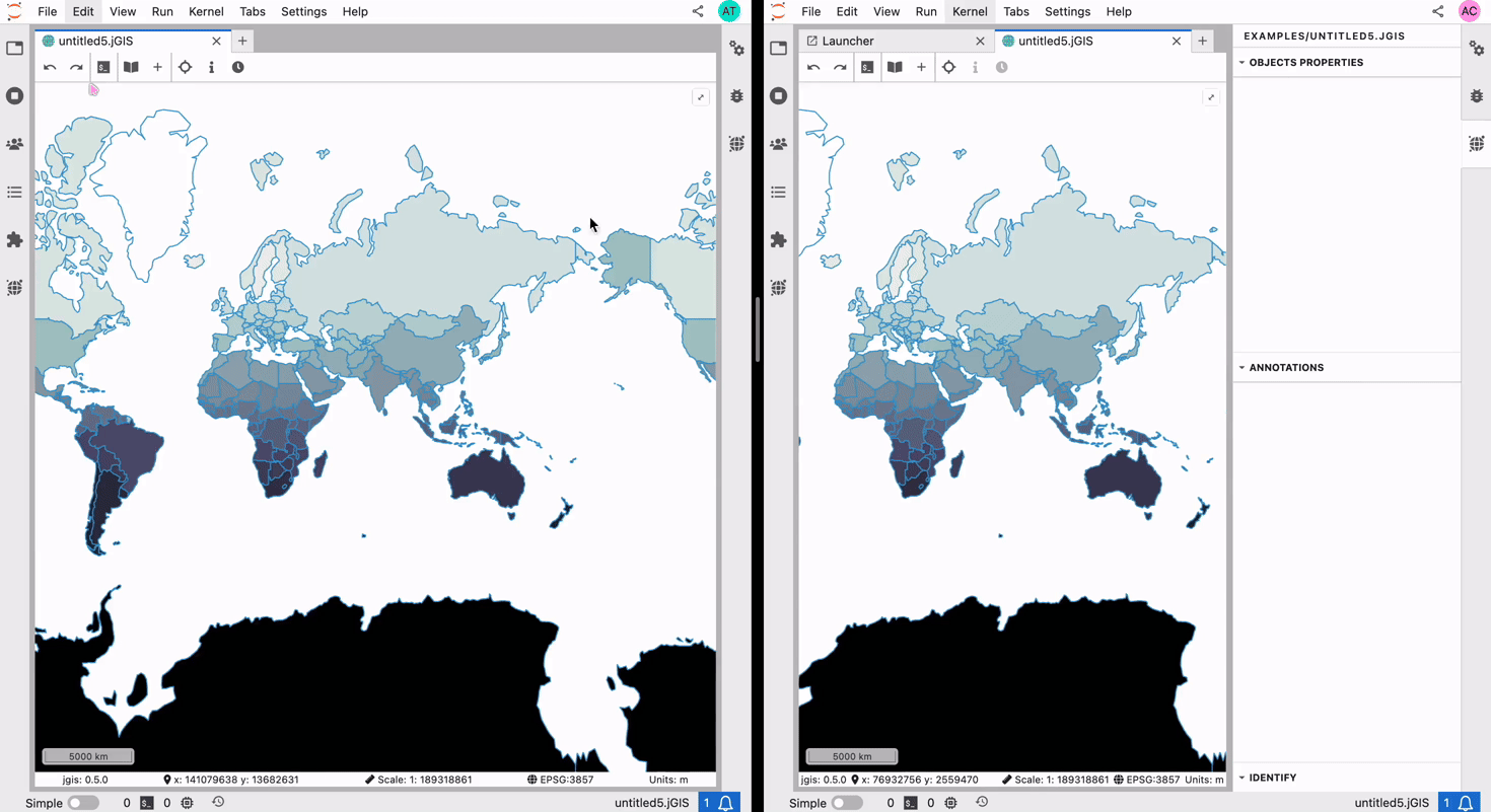
🤝 Collaborate: Follow a user
One user following another in real-time on a JupyterGIS project (QuantStack)
🤝 Collaborate: Edit together
Two users editing a shared map (QuantStack)
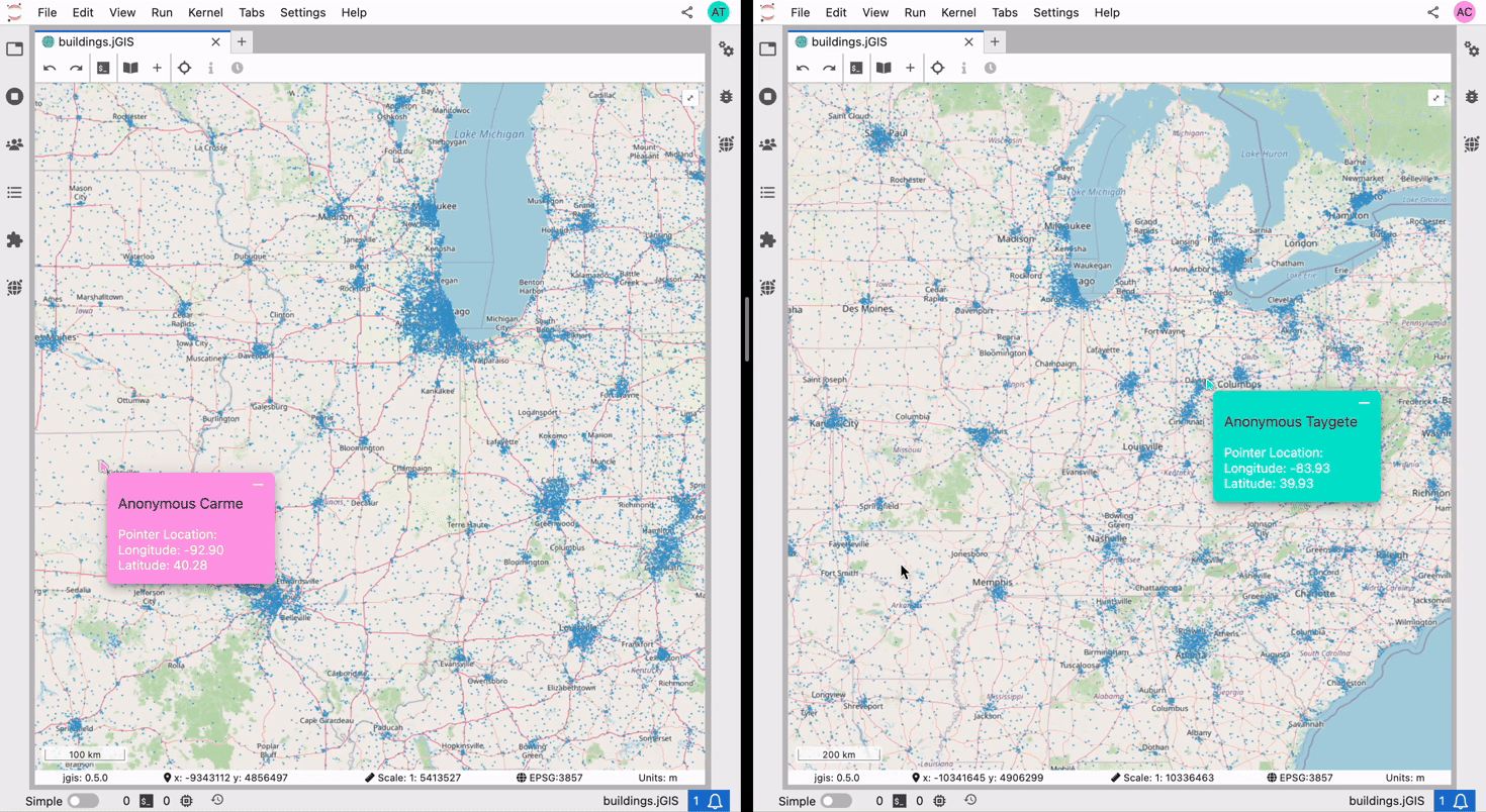
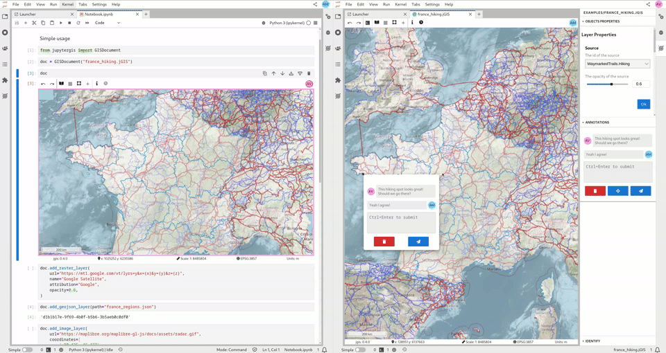
🤝 Collaborate: Annotations
Two users having a conversation with spatial context through annotations (QuantStack)

📣 Other GeoJupyter happenings at AGU
- Workshop SCIWS10 - Open Geospatial Workflows in the Cloud
- 👐 All materials open source!
- Thursday, December 18th; 8:30-5:00
- Room 333-334
- Town Hall TH45J - A Discussion with GeoJupyter and Cloud-Native Geospatial Community Members
- 👂 We want to hear from you!
- Thursday, December 18th; 6:00-7:00
- Room 286-287

❤️ Thank you
❤️ Thank you for listening! ❤️
